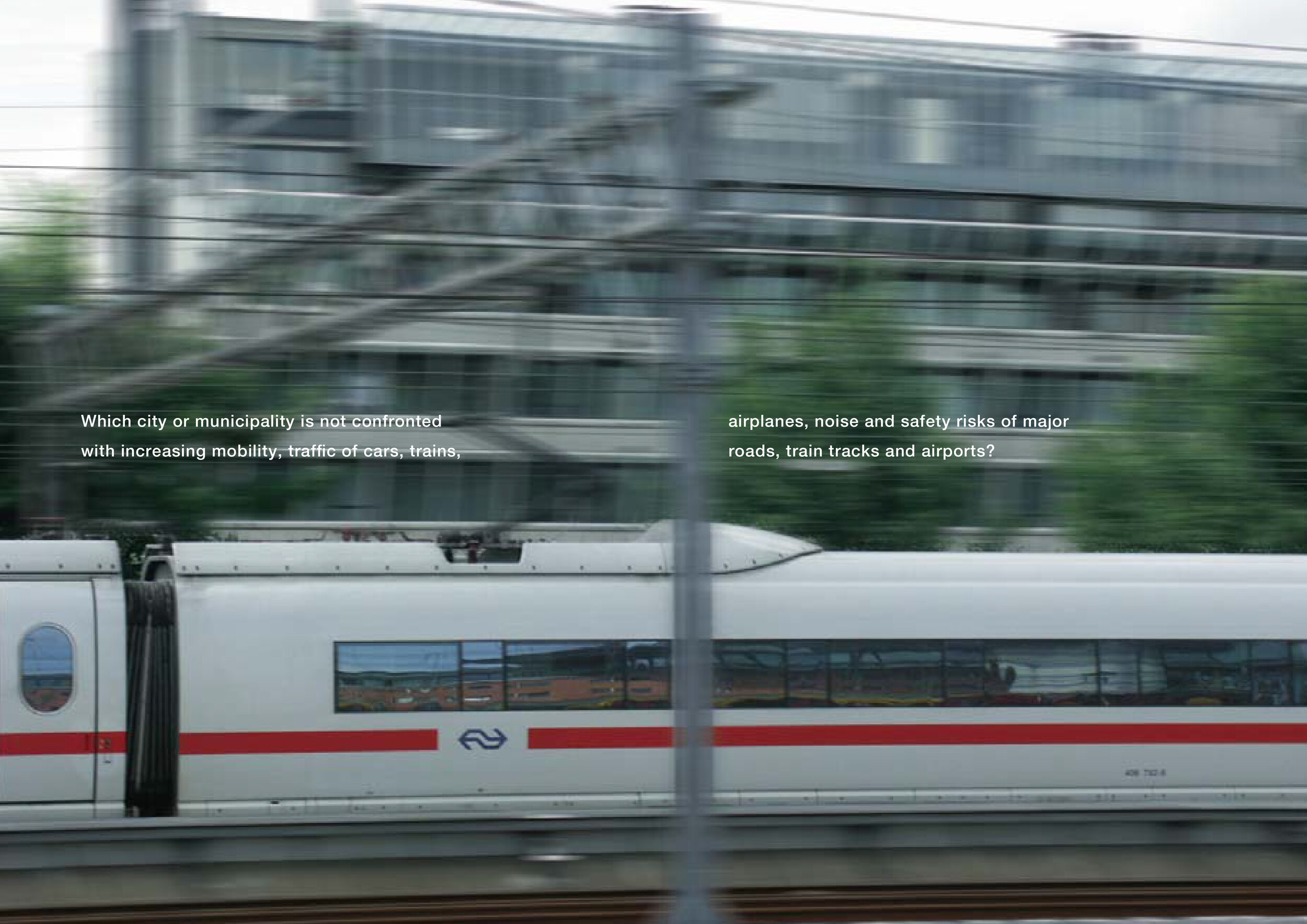
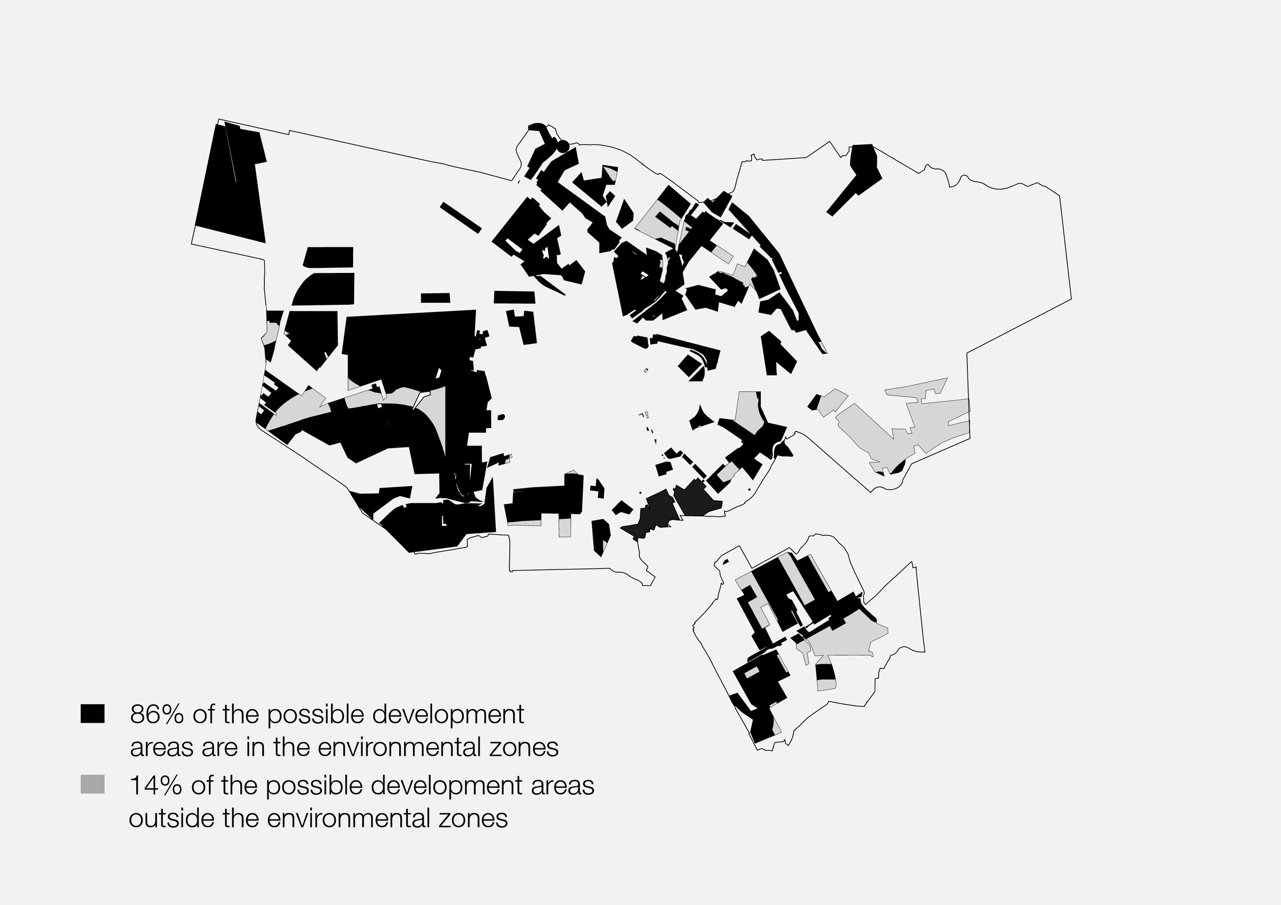
In 2001 we were asked to provide an overview of the environmentally hindered zones within Amsterdam and what that could mean to the 2025 Structure Plan of Amsterdam. This study provides an overview of the environmentally hindered zones within Amsterdam based on the problem of the lack of developable space for dwellings in Amsterdam.
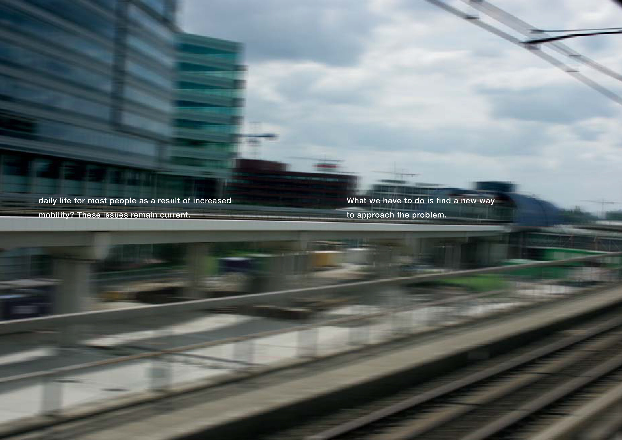
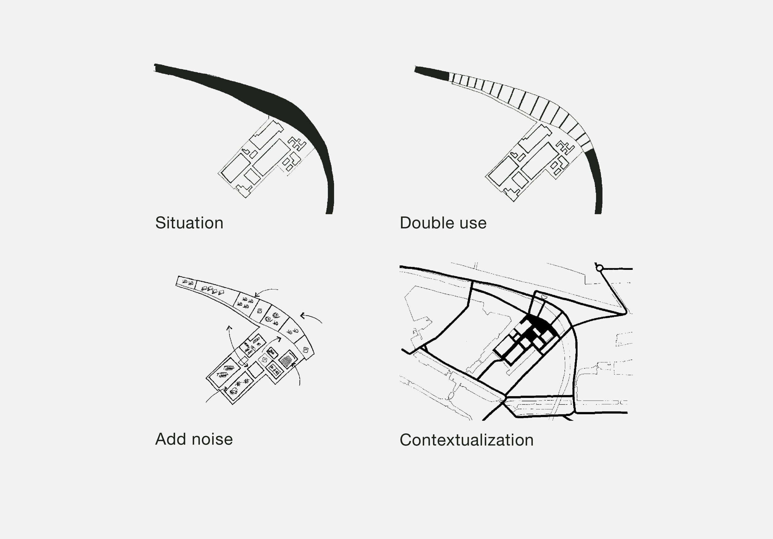
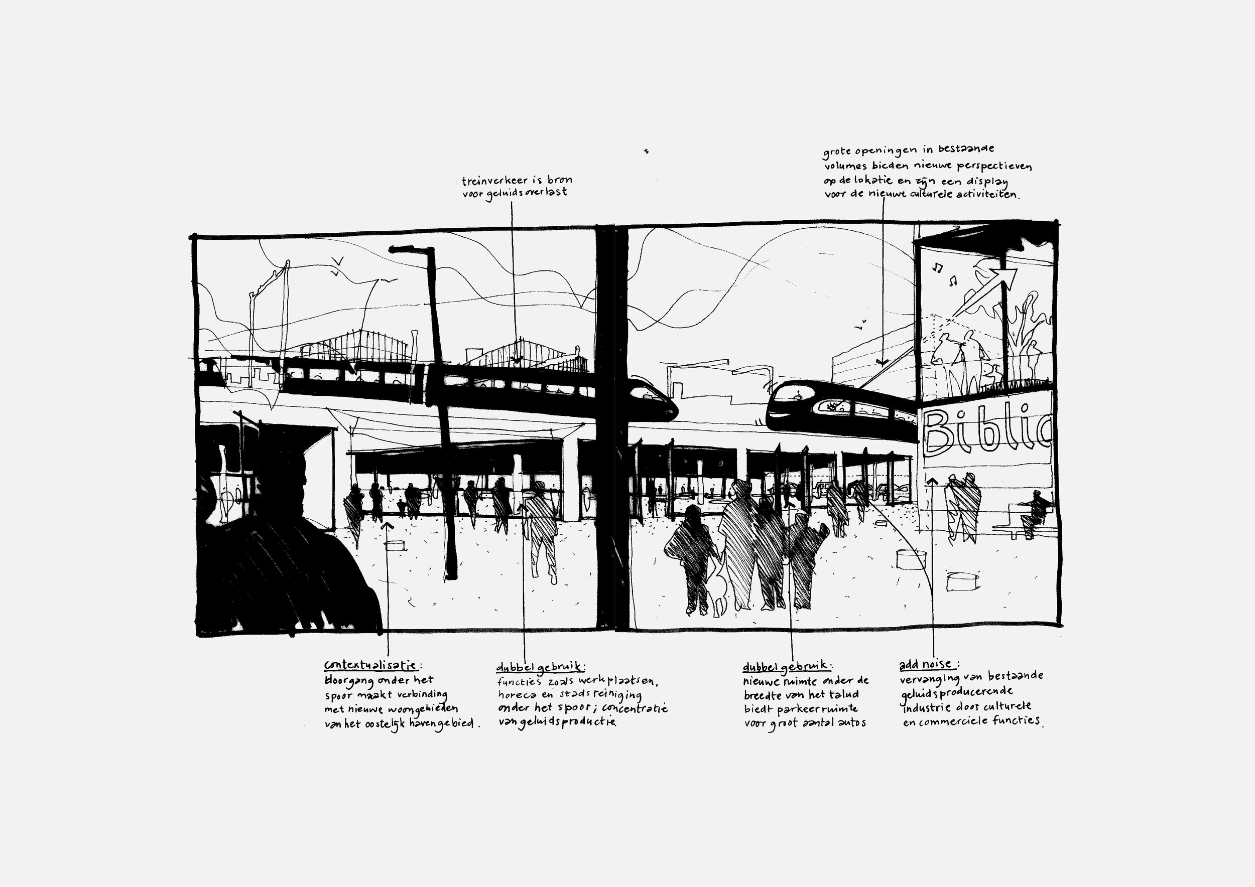
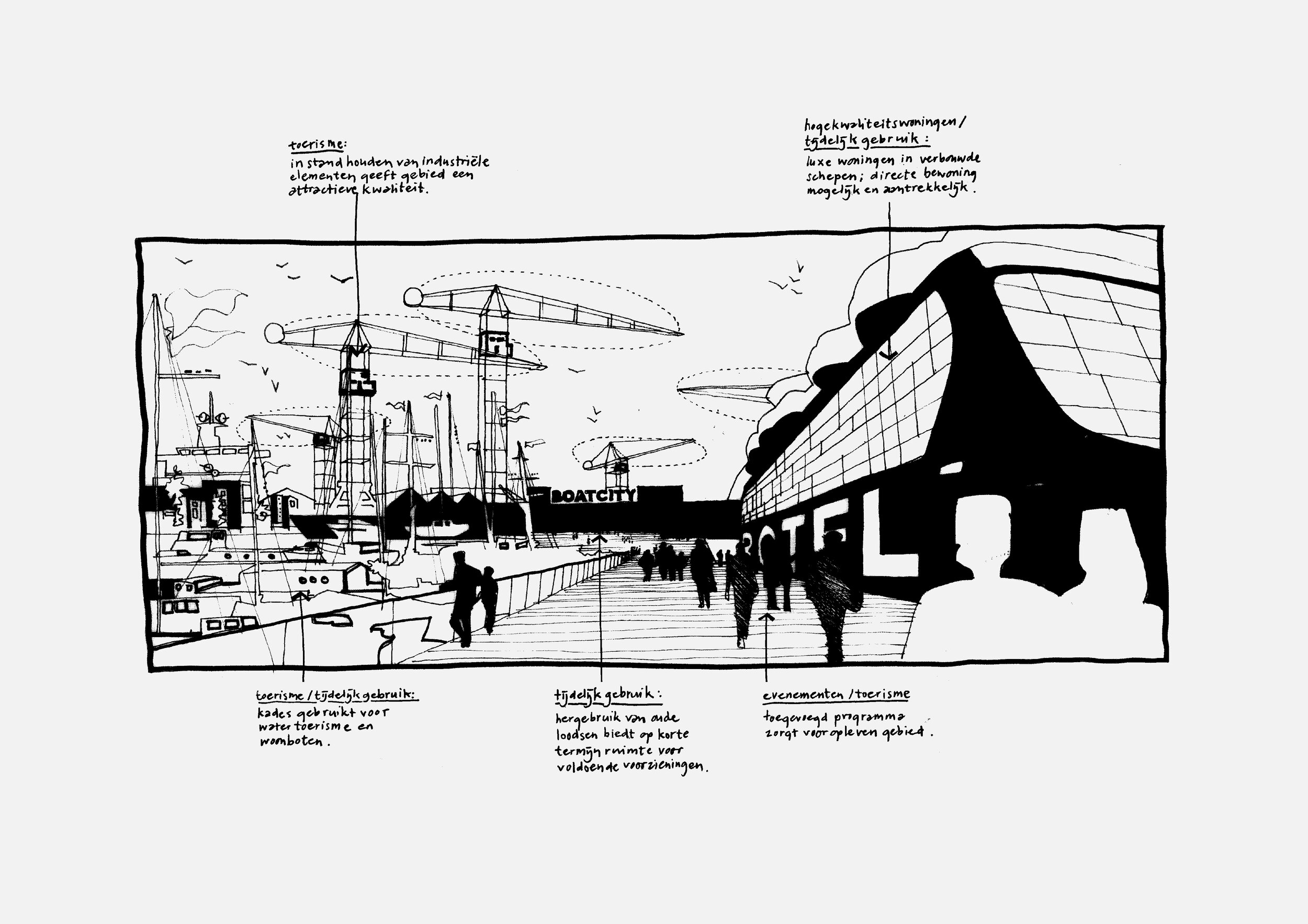
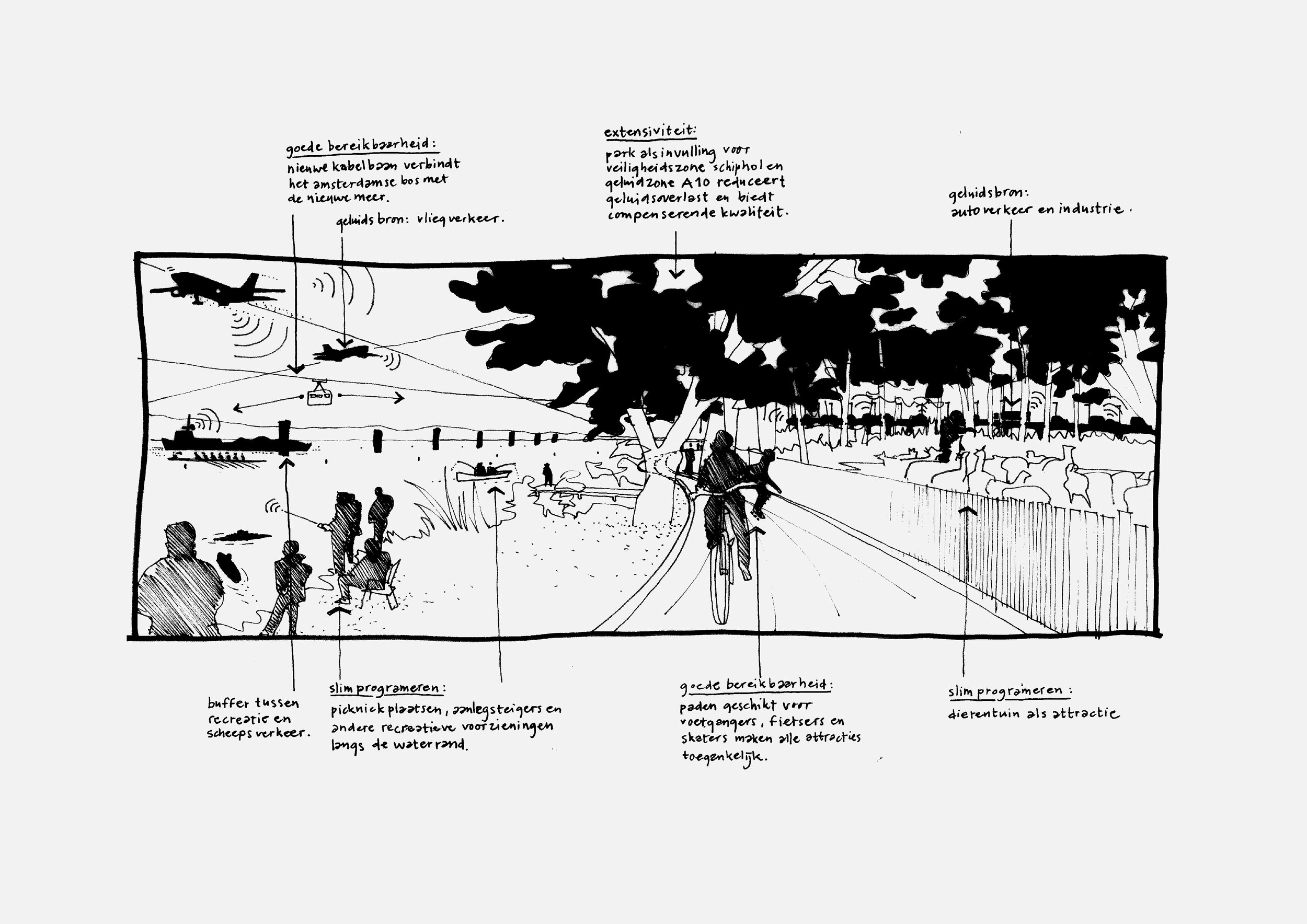
An estimated 50,000 dwellings need to be located and built between 2010 and 2030 within these zones. In practice, these locations quite often get reduced to a series of bureaucratic rules that get applied to buildings after the design is finished, resulting in also delays on the planning process. The starting point is an alternative way of thinking that places the position of the environmentally damaging source to the beginning of the design process instead of at the end.
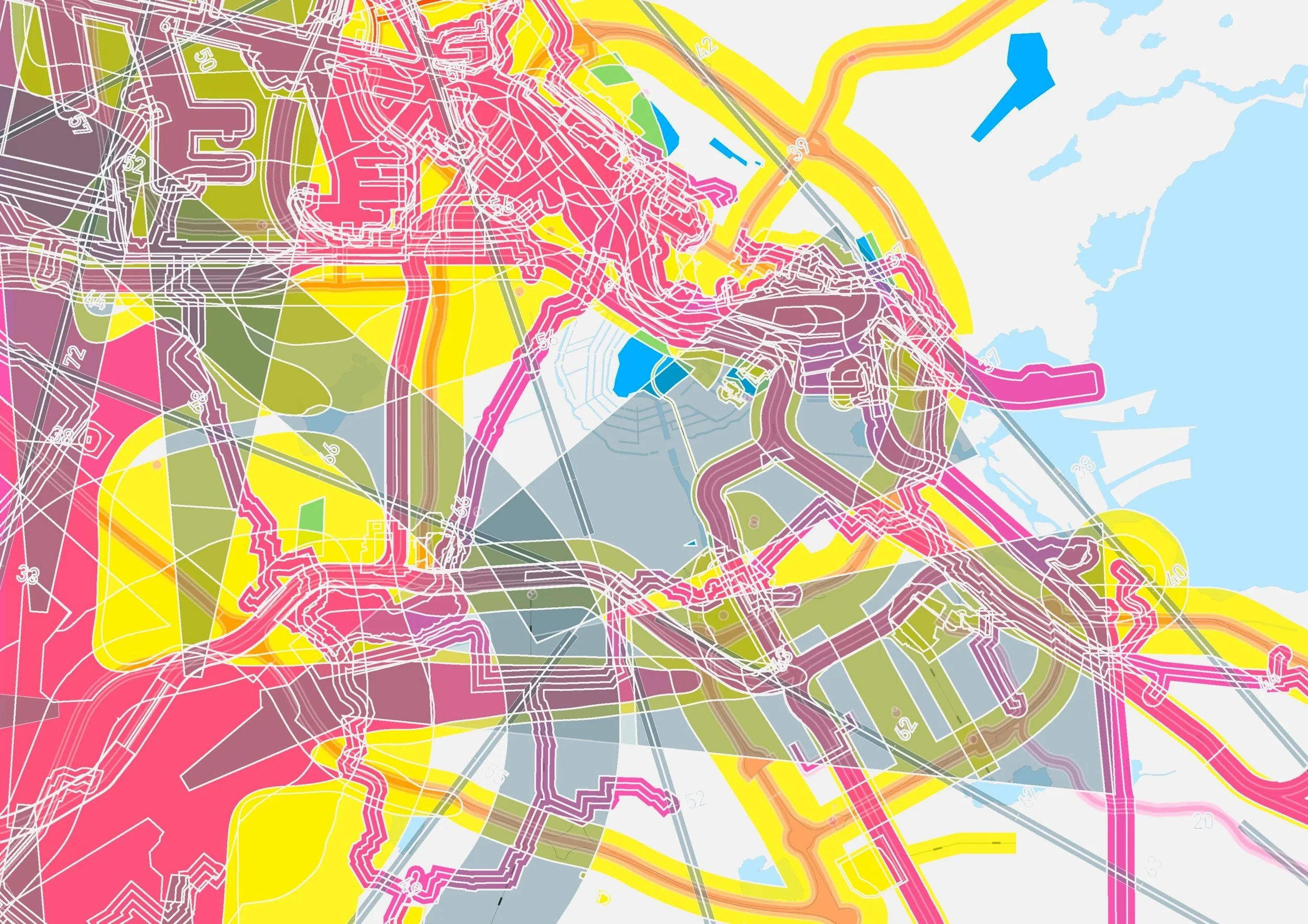
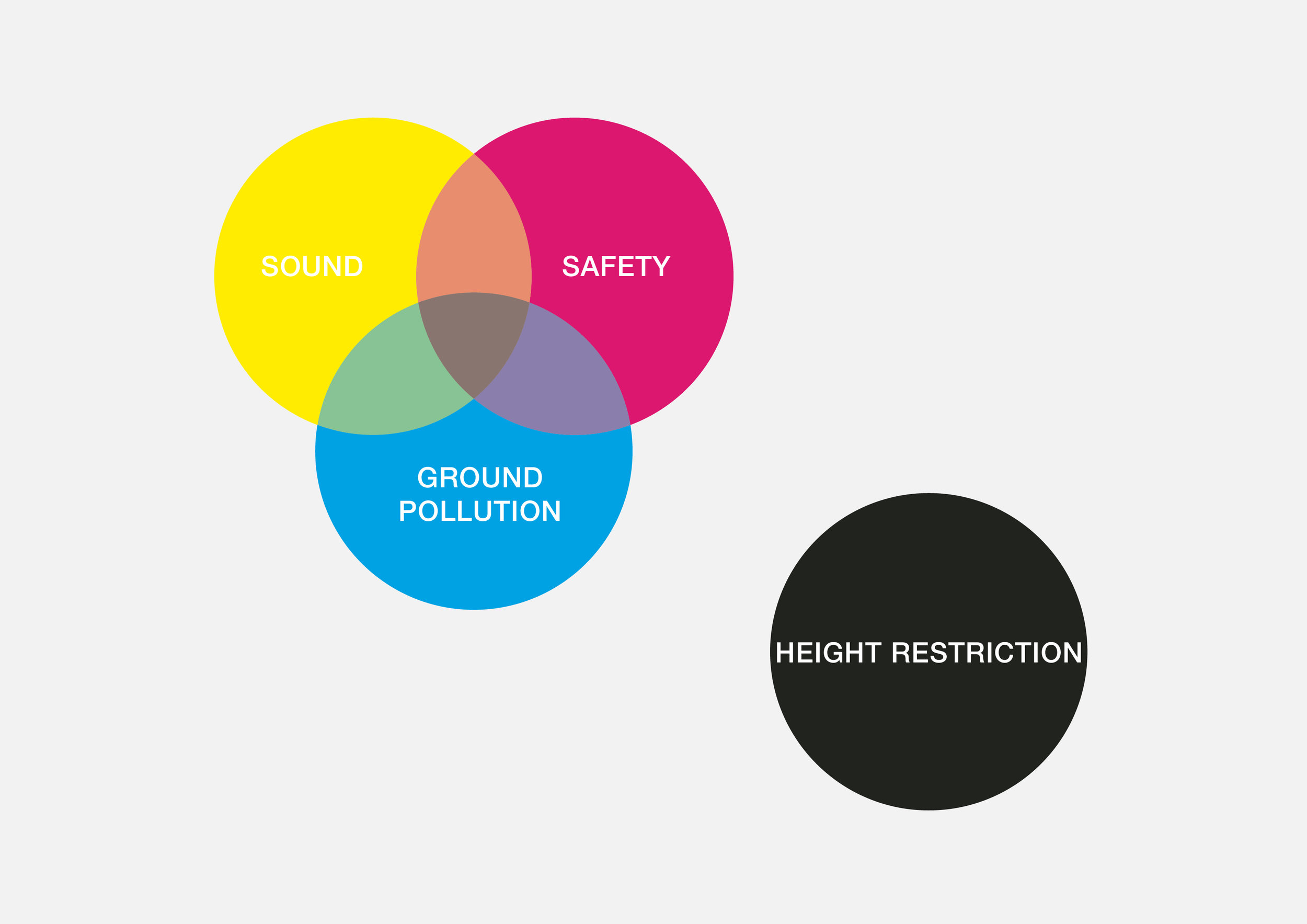
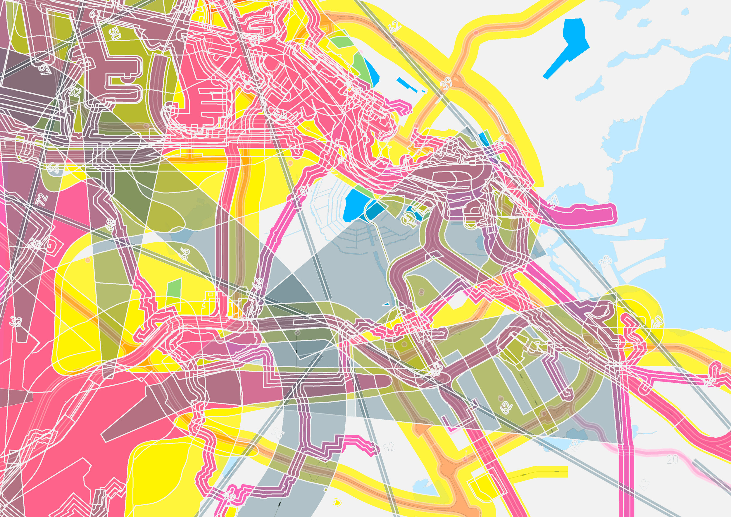
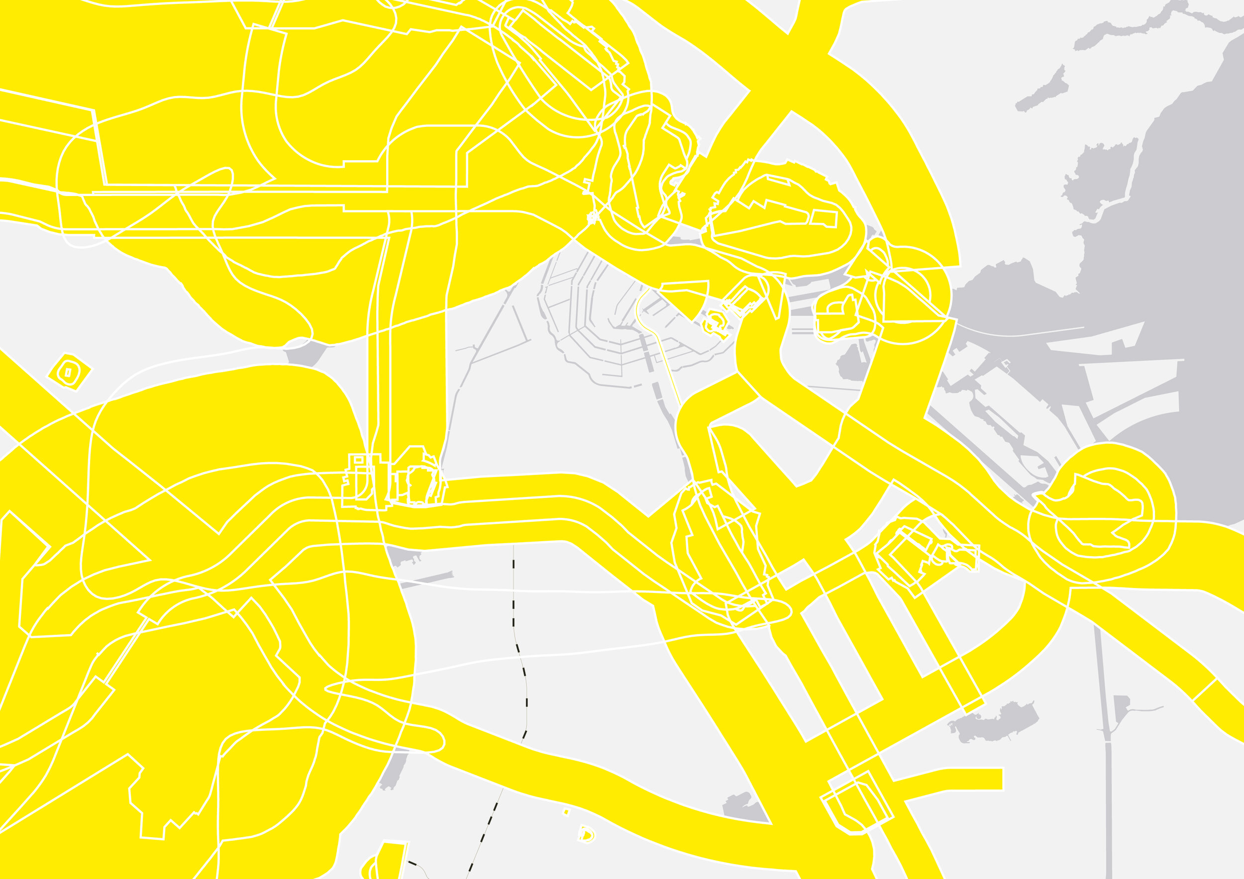
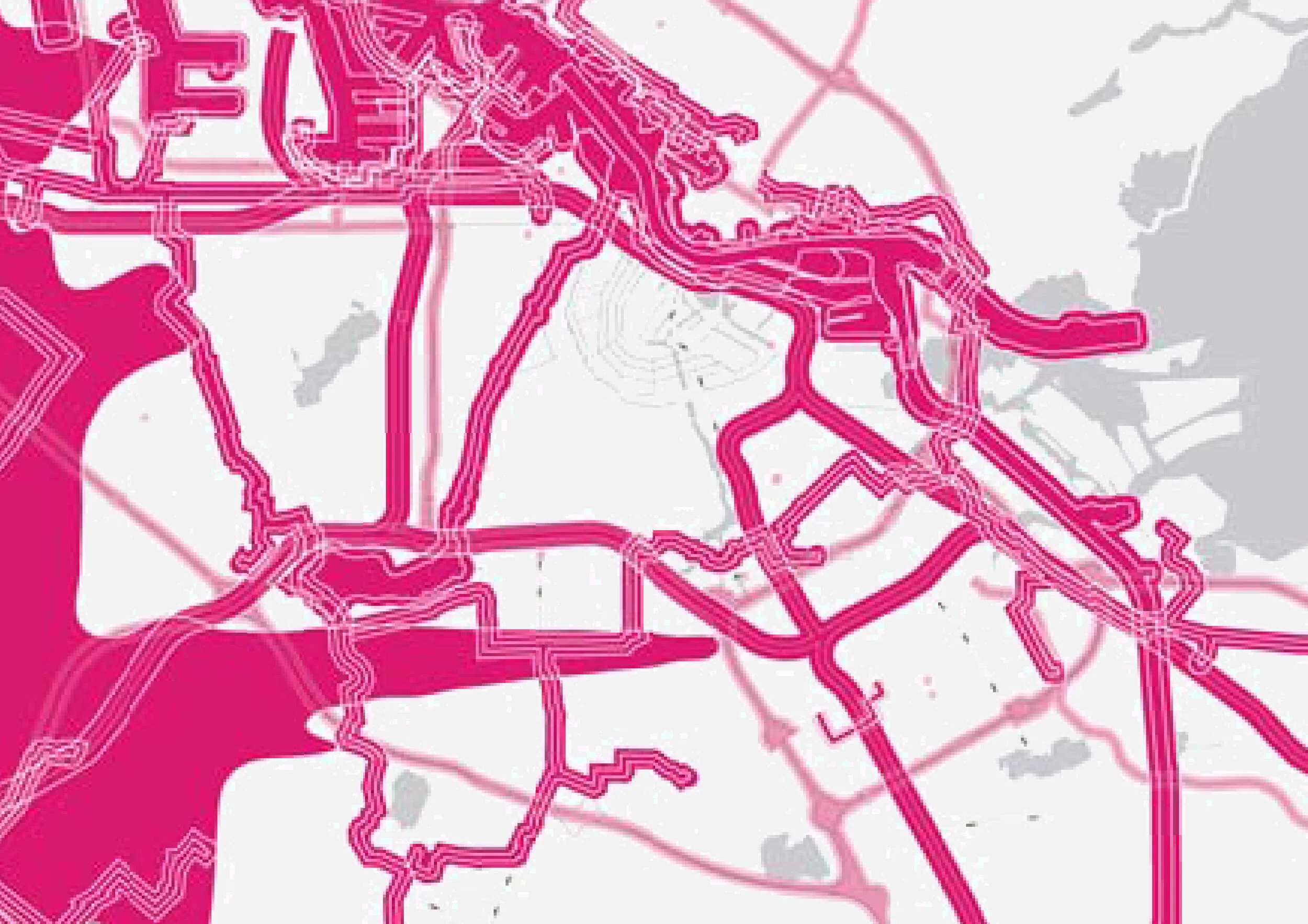
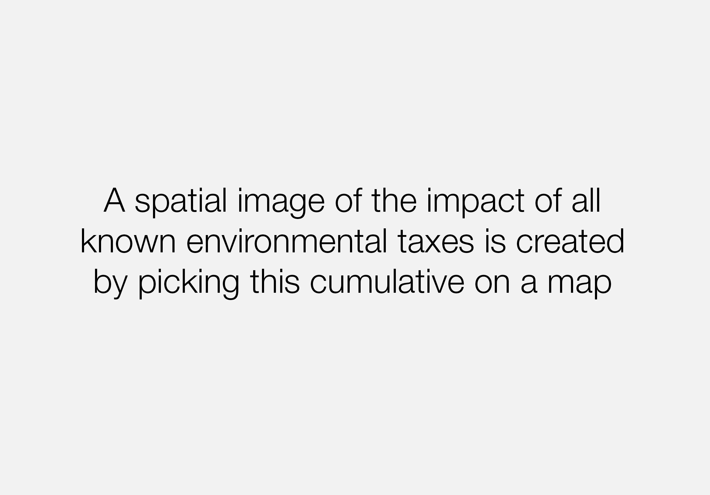
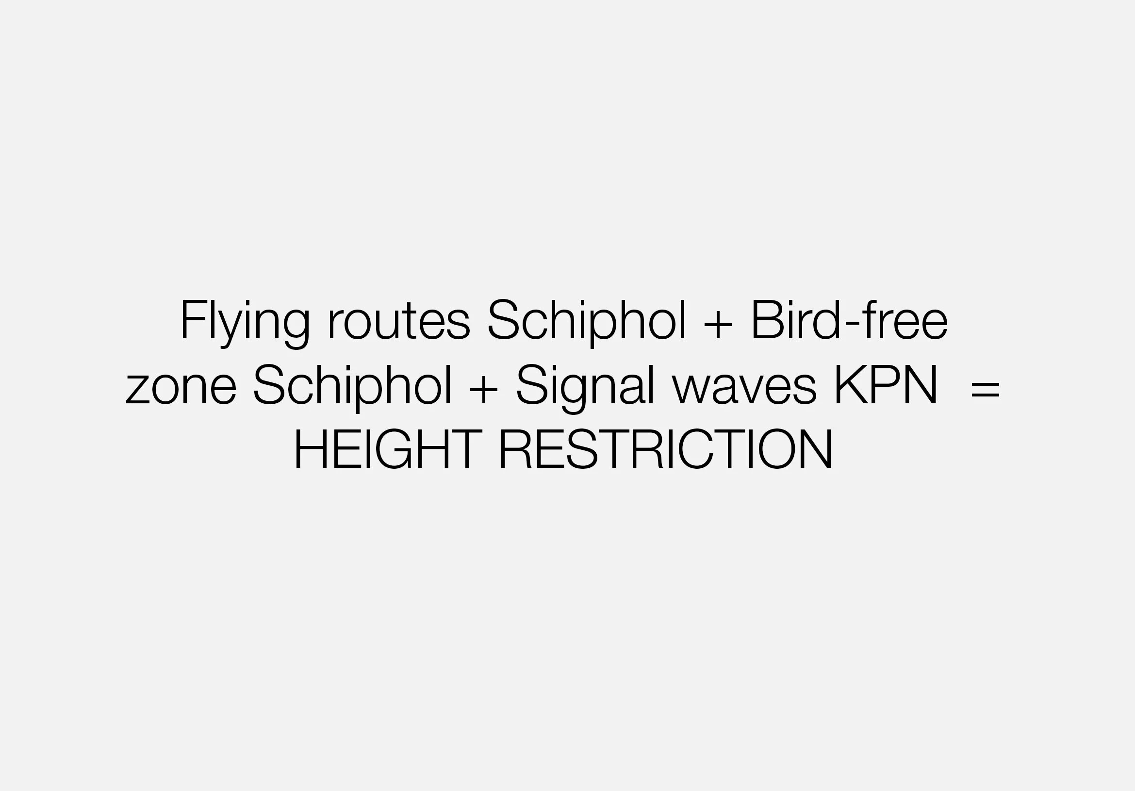
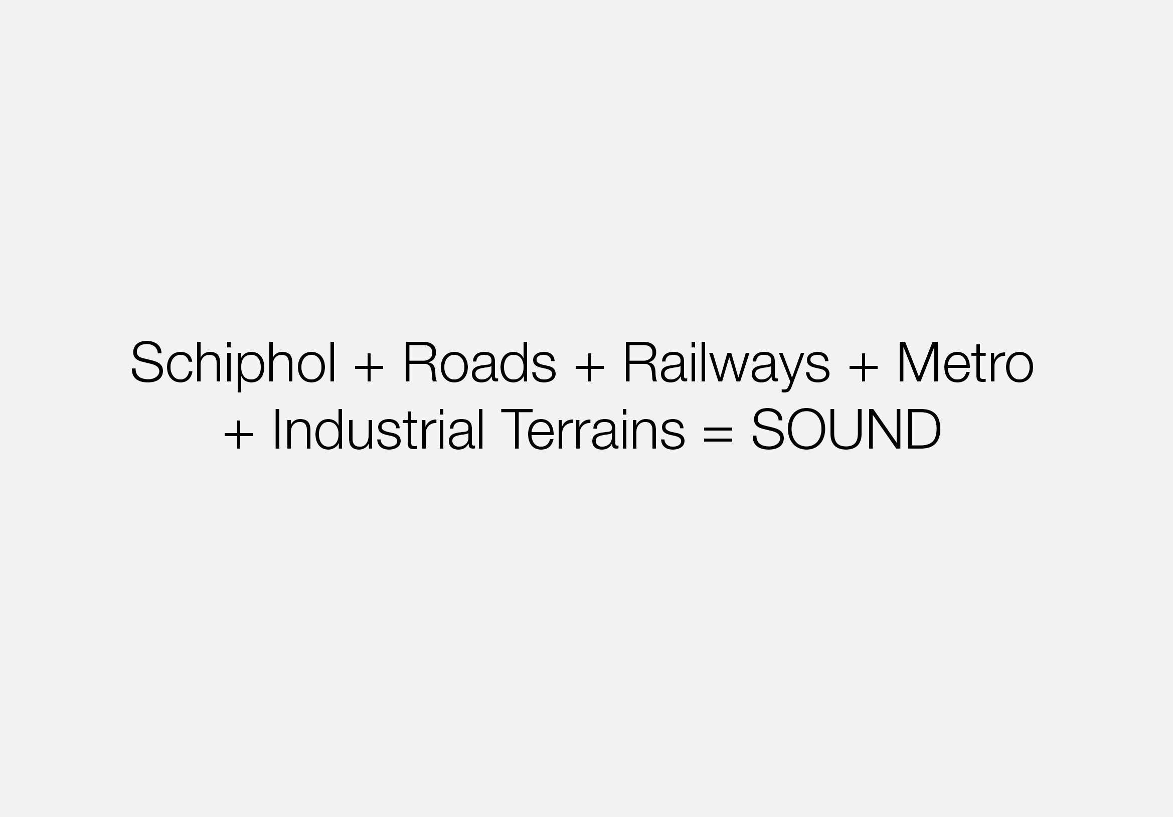
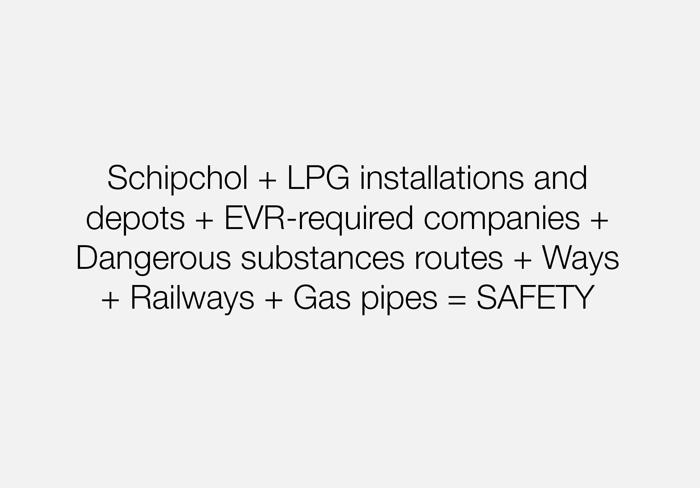
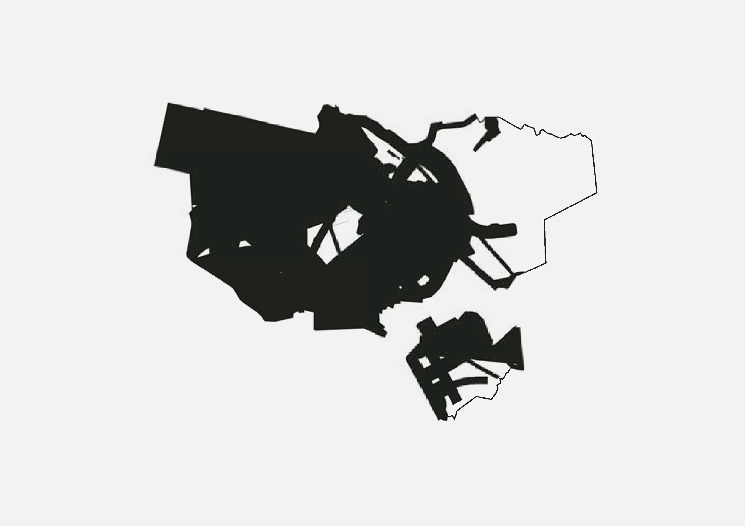
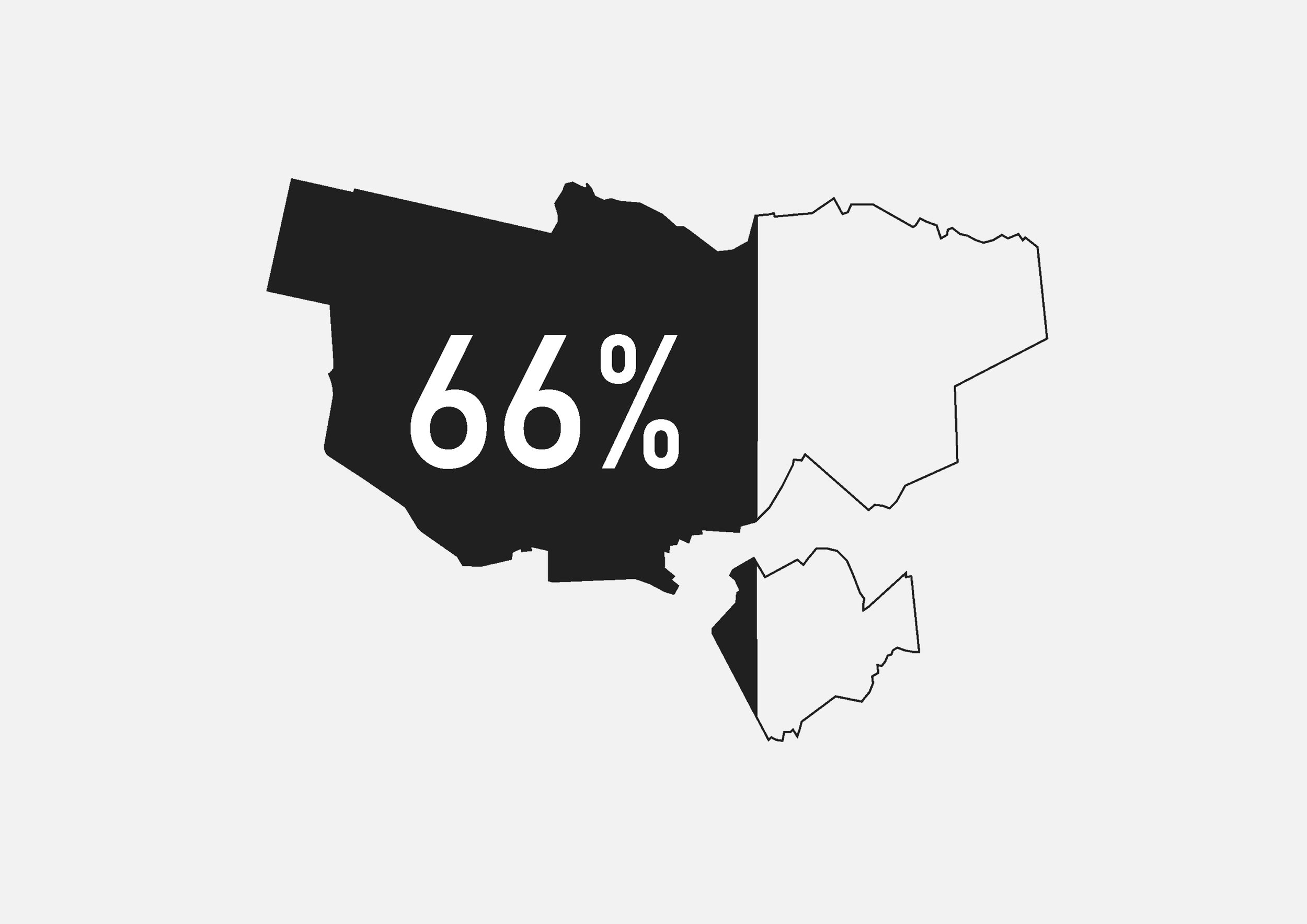
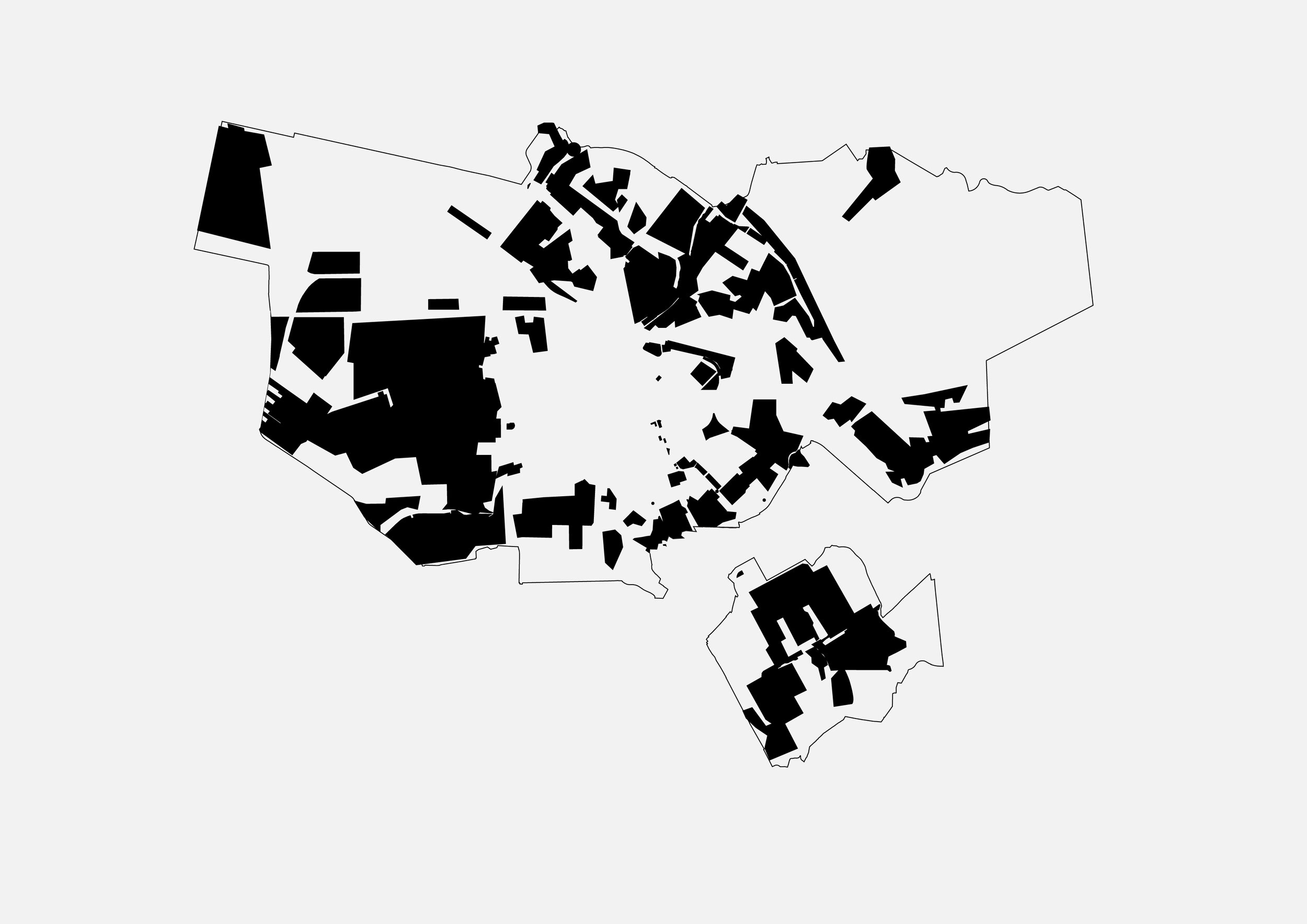
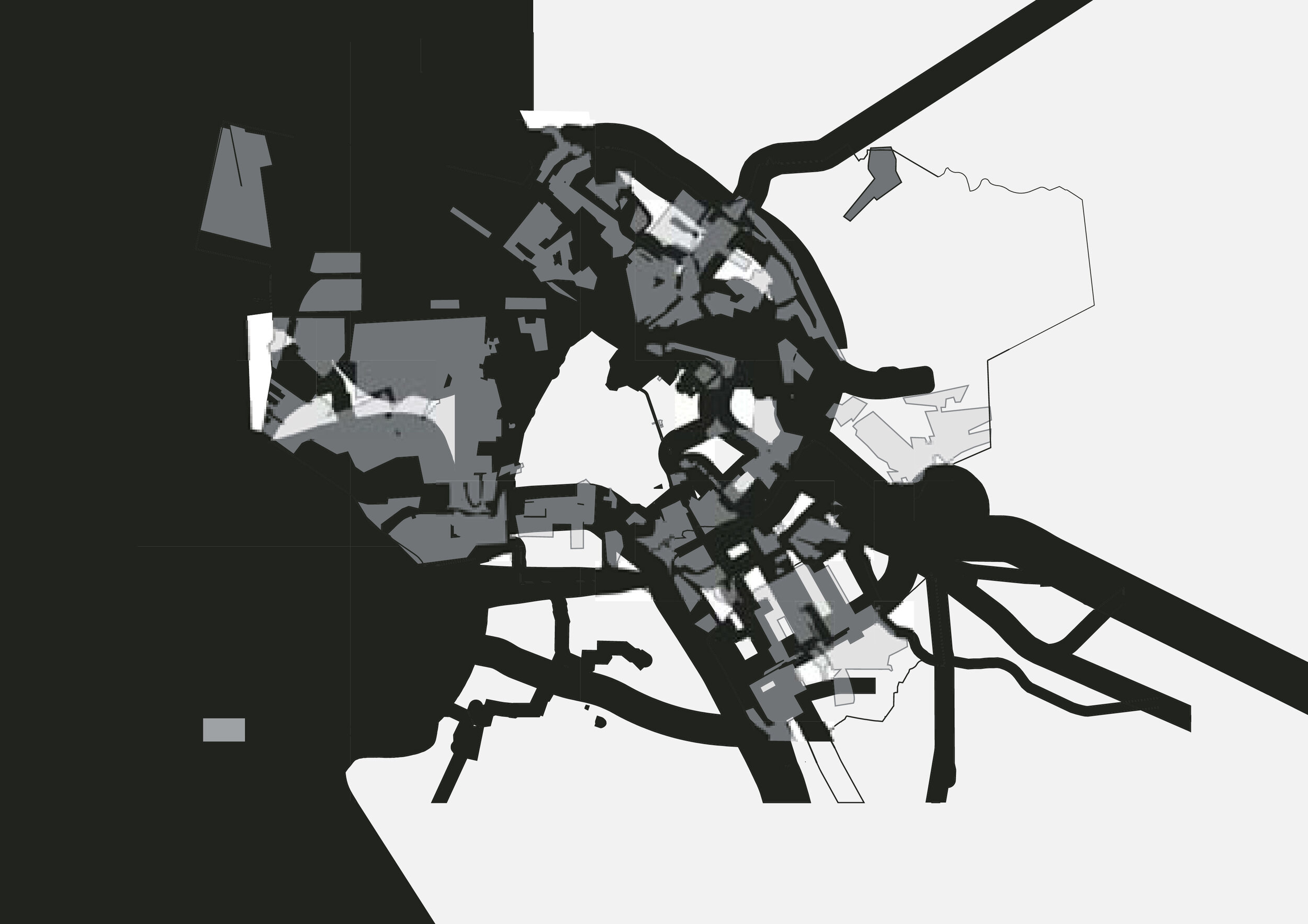
Waste Space was the first to combine all the four categories of environmental hindrance into one accumulative map, in order to get a more accurate picture of the problem. The map superimposed the spatial parameters that warrant attention: safety zones, ground pollution, air pollution and sound. Surprising is that 66% of Amsterdam lied within this, ‘waste space’.
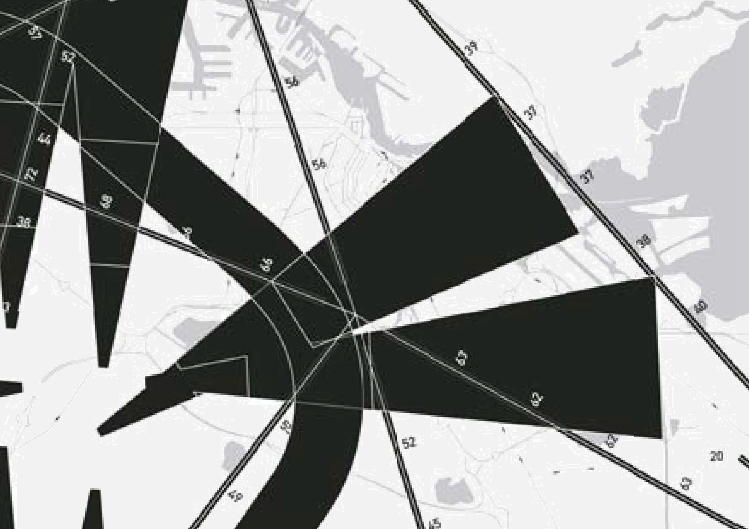
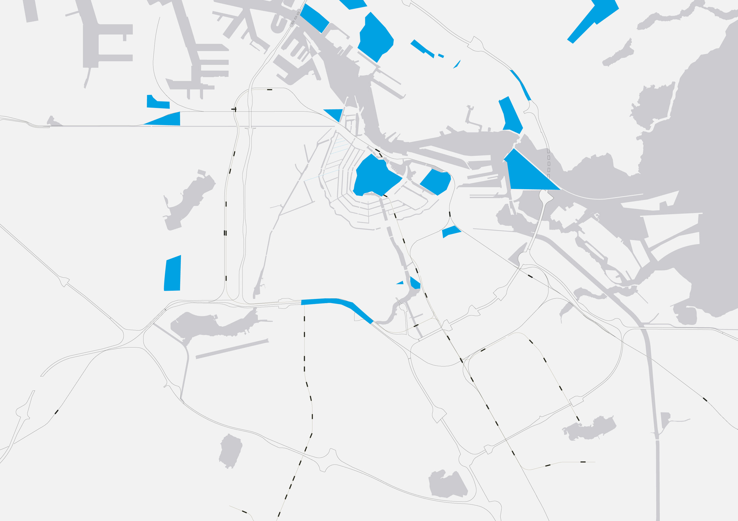
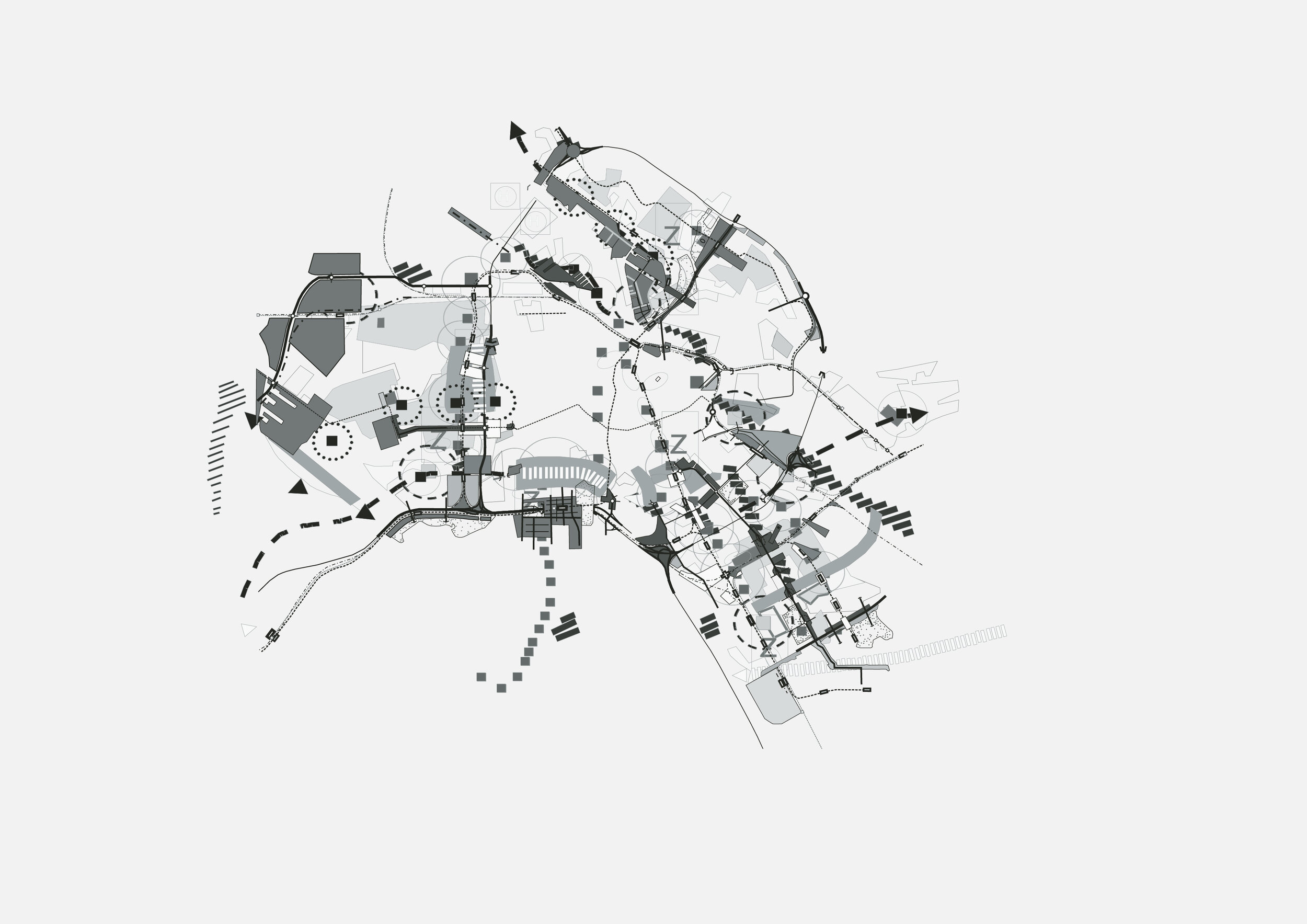
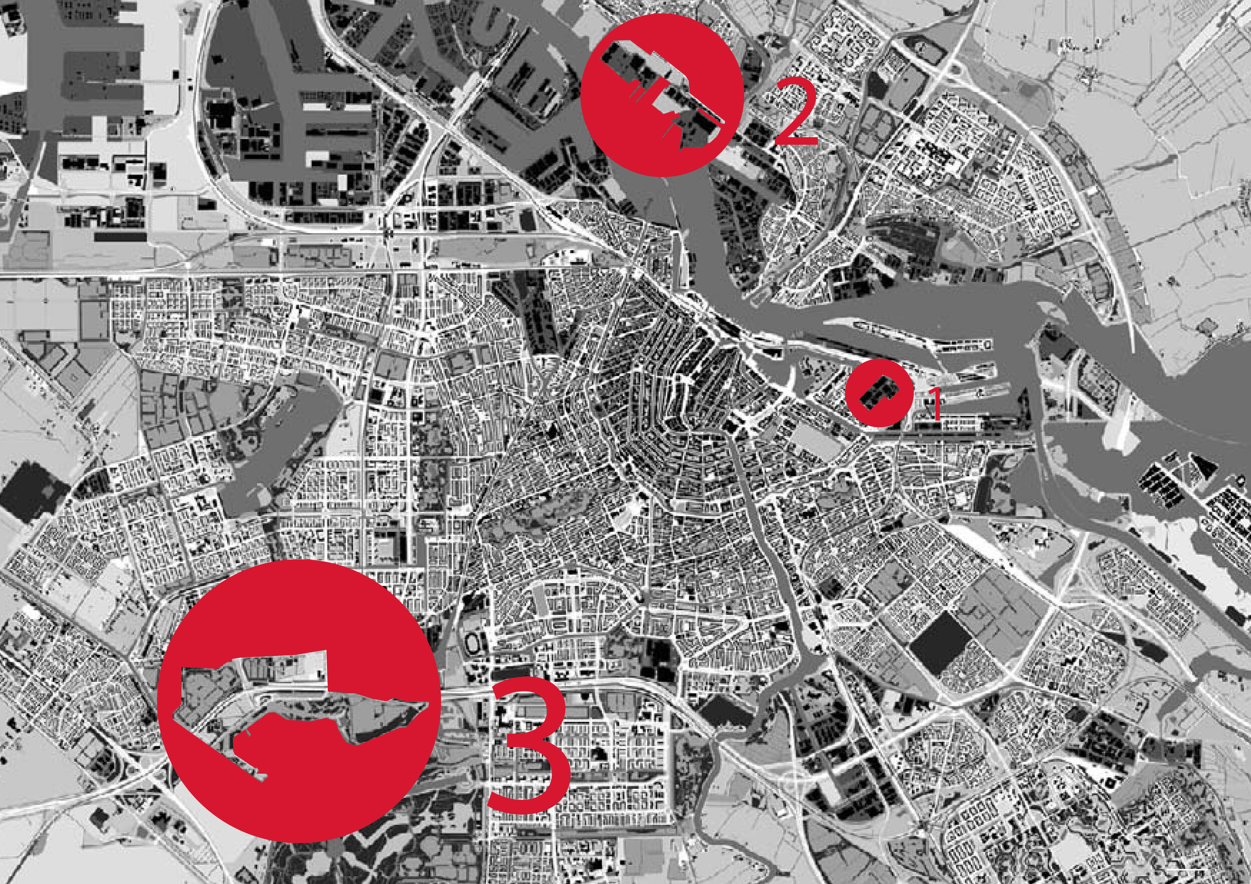
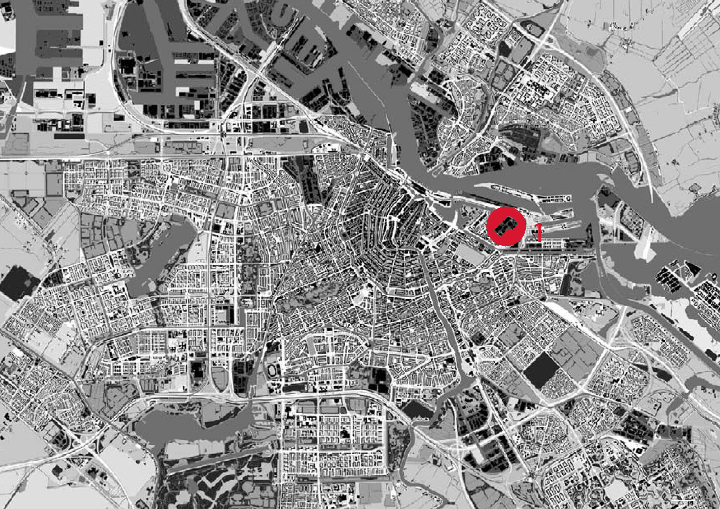
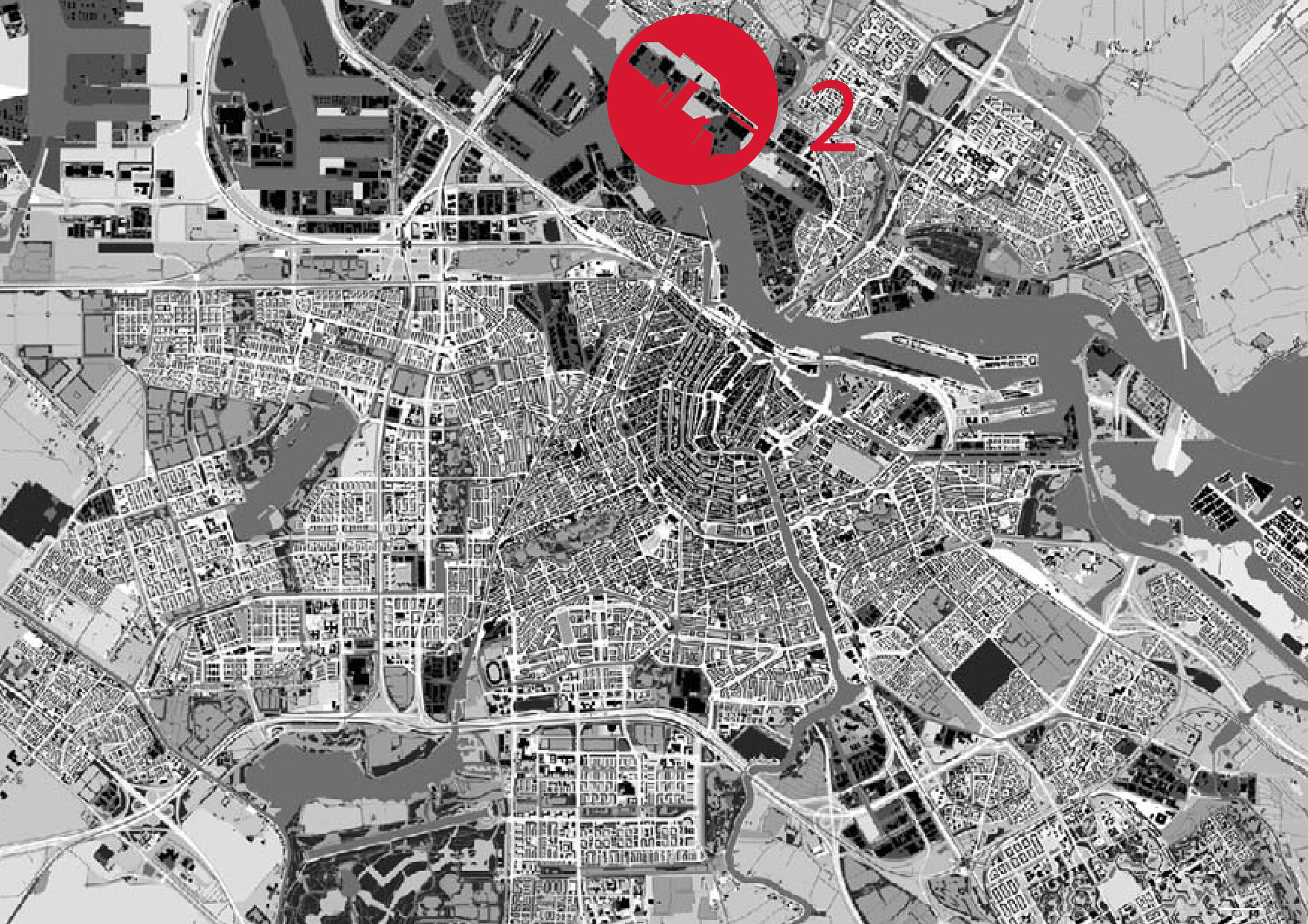
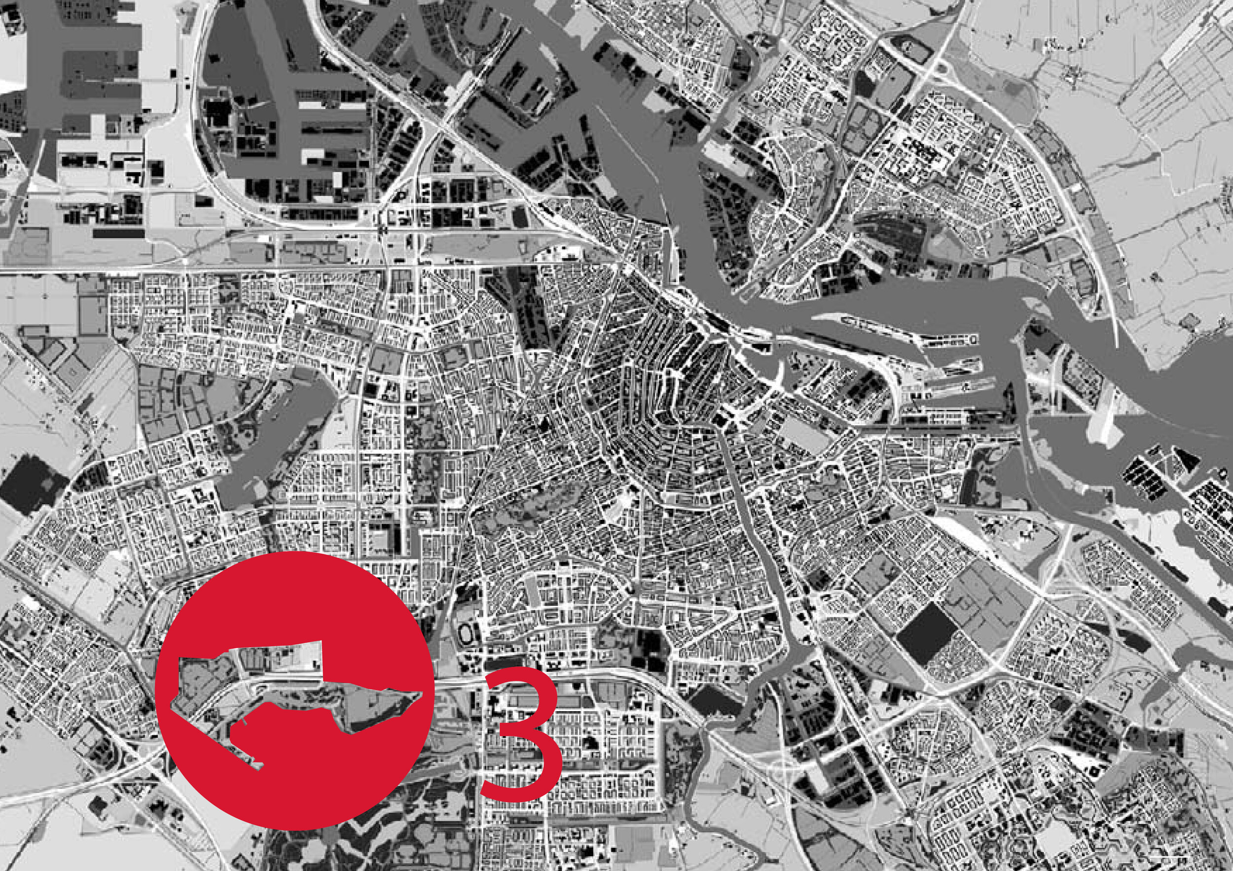
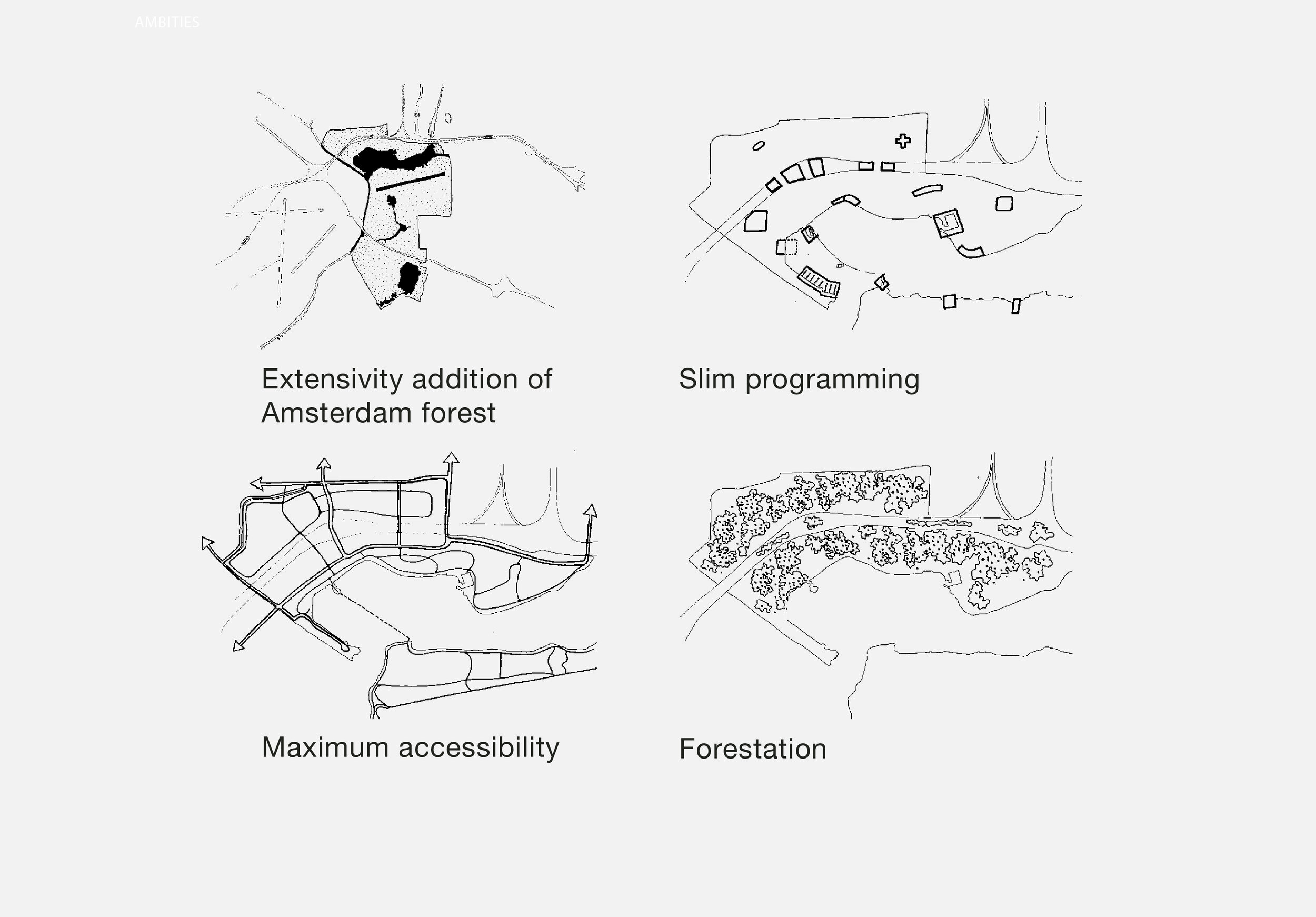
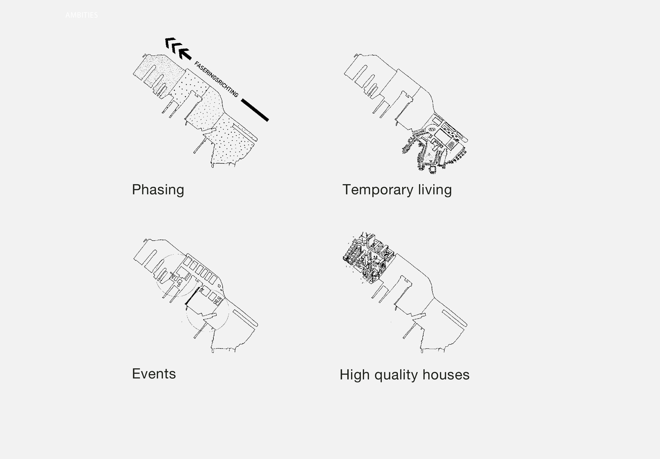
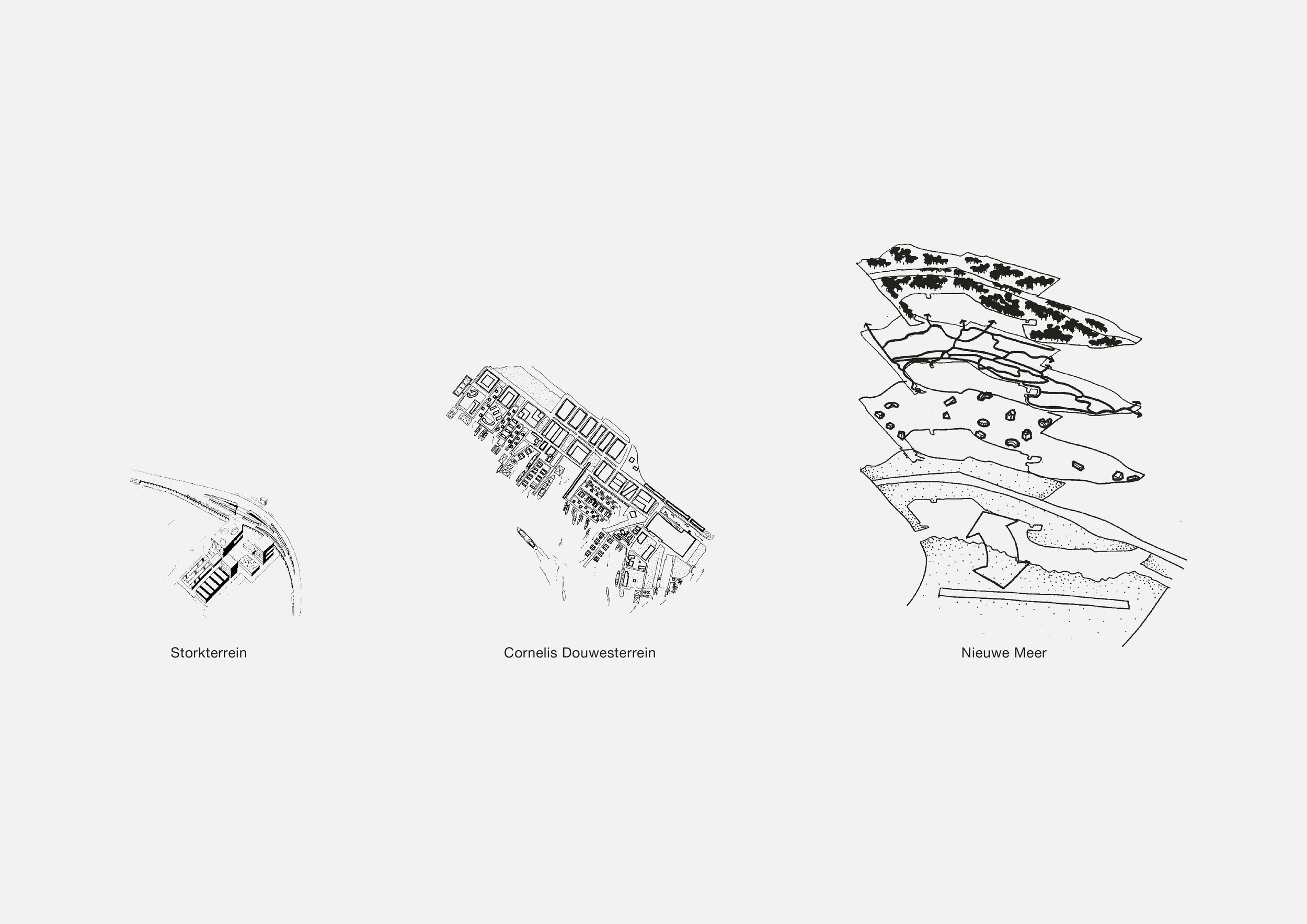
Coupled with the areas earmarked for intensification, 46 locations were mapped and then organised within an inventory of classifications. This inventory provided a means to step into a new way of thinking. This escapes the paradox that environmental waste produced by industry and increased mobility cancels out its economic benefits and the possibilities for more functions to co-exist. We proposed a design based feedback model (better said, a way of thinking beyond the rules) that allows for a increased range of design possibilities in the form of optimizing tools. Of the 46 locations, three were studied and developed within this design methodology.